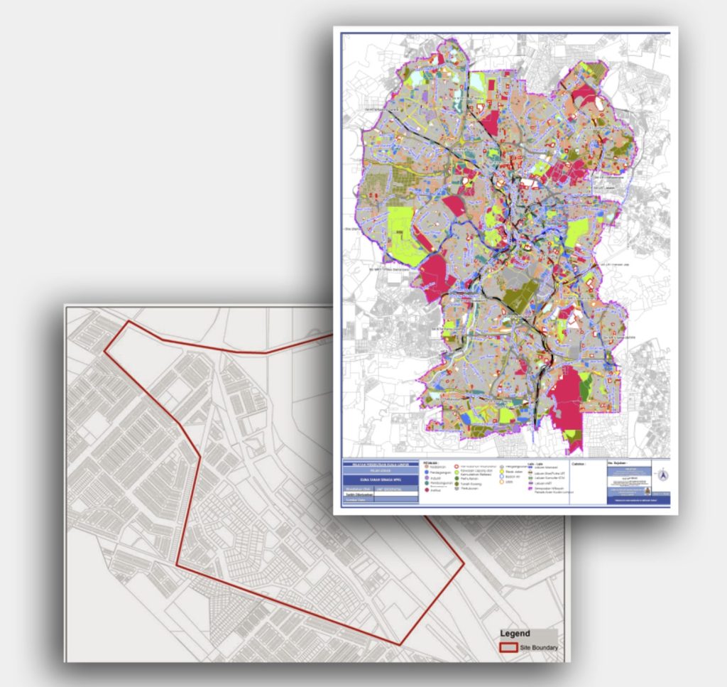
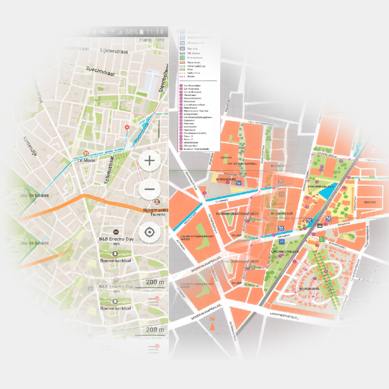
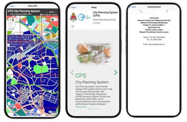
Skip to content

CPS

City Planning System

About CPS

city planning system

City Planning System or known as CPS, is an online map service system developed by the City Planning Department (JPRB) together with the Information Management Department (JPM), DBKL to improve the service delivery system to customers.

The use of CPS is now being expanded with the provision of an online digital plan sales module for planning information. The purpose of this expansion is to improve CPS services to its customers in line with the National Agenda.

Through CPS, users can access information from geospatial data layers such as Land Use Zone, Intensity (density and plot ratio), Height Control Zone, Riverside Corridor, Heritage Zone and Transit Planning Zone as determined by the Kuala Lumpur City Plan 2020 (KLCP 2020) for each plot of land in Kuala Lumpur. This information should be read in conjunction with the Federal Territory of Kuala Lumpur (Planning) (Land Use and Building Classes) Regulations 2018 which describe the permitted and prohibited uses and activities of land and buildings for each Land Use Zone.

PBRKL 2020 is a Local Plan for Kuala Lumpur prepared under the provisions of Section 13, Federal Territories (Planning) Act 1982 (Act 267). This plan translates the vision & goals of the Kuala Lumpur Structure Plan 2020 (PBKL 2020) to make Kuala Lumpur a World Class City. It covers all aspects of development to promote the growth of the city while contributing towards the improvement of the natural & built environment, transportation, housing, social facilities & infrastructure while protecting cultural heritage.

CPS will facilitate the sharing of information related to Development Control and Planning in Kuala Lumpur online through the display of geospatial interactive maps among users of departments in DBKL and interested agencies.

e-MAP

Online Digital Map Sales

CPS Mobile Apps

A smart city management app designed to streamline urban planning, infrastructure development, and public services. It enables city officials and residents to report issues, track ongoing projects, and access real-time data for better decision-making. With features like zoning maps, traffic monitoring.

Visitor Counter

000239
Total Users : 239
This Month
0
This Week
0
Today
0